The hike at a glance
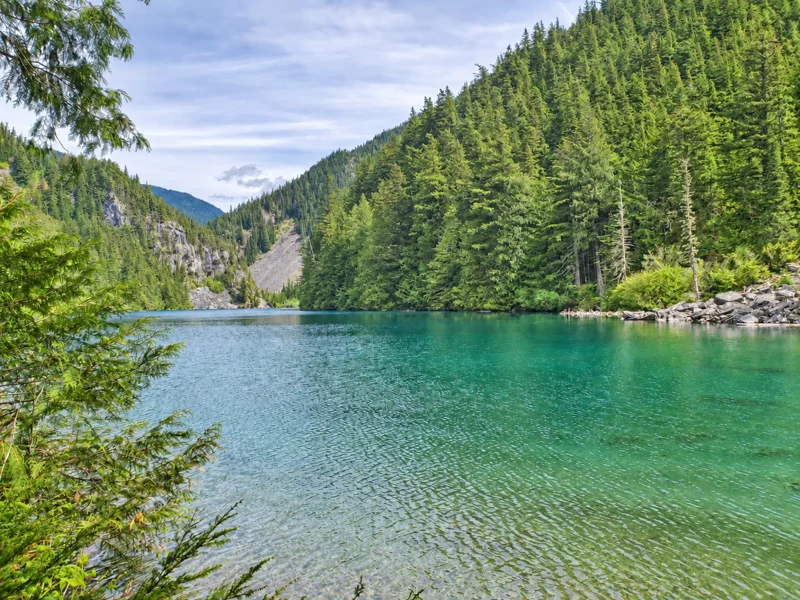
Lindeman Lake is a 3.4 km out-and-back hike in Sx̱ótsaqel/Chilliwack Lake Park, with approximately 200 m of elevation gain and an intermediate difficulty rating. Allow about two hours for hiking, plus time for breaks and a stop at the lake.
Trail terrain and difficulty
The route climbs through forest beside Post Creek, with roots and rocky sections along the way. Shoes with good grip are useful, especially when the trail is wet.
The return hike
The return follows the same trail back to the parking area. Allow time for a stop at the lake as well as the walk down.
Continuing to Greendrop Lake
The hike to Greendrop Lake is 10.4 km return from the trailhead. For route updates, read the Chilliwack Lake Park entry in the South Fraser trail conditions report (PDF) and check the park’s current advisories.
Seasonal conditions
Rain, lingering snow, ice, heat and smoke can affect the trail. Check the trail conditions report (PDF) and Chilliwack weather forecast. The conditions page also links to wildfire and smoke forecasts.
What to bring
Bring water, a snack and clothing suited to the weather. Save a trail map before leaving cell coverage.
SOURCES & FURTHER READING
BC Parks park and trail information ↗AllTrails: Lindeman Lake map and reviews ↗Reviewed September 9, 2026. Fees, rules and access can change. The official source takes priority.